Whether it’s half a day on site or a project lasting several months, Stafsurv can offer the complete land survey solution. Our drawings are accurate, clear and concise, and we are happy to work either with a clients specification for the survey, presentation and layering or to use our own generic presentation which our regular clients find visually clear and easy to understand with well structured layering.
All of our surveyors have many years experience in topographical surveys, often using their initiative in identifying additional information at the time of the survey that may be of use to the end user.
Typically our surveys include all on site features, level, height and layout details, plus offsite details such as adjacent roads, overhanging trees and height / position of neighbouring properties. Additional information such as road markings, trench scars can also be included.
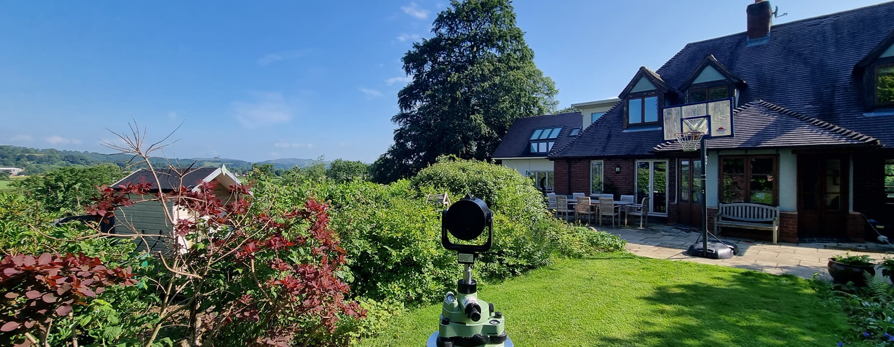
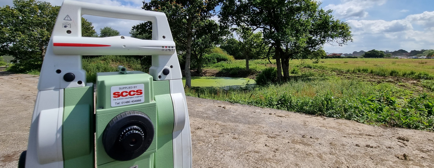
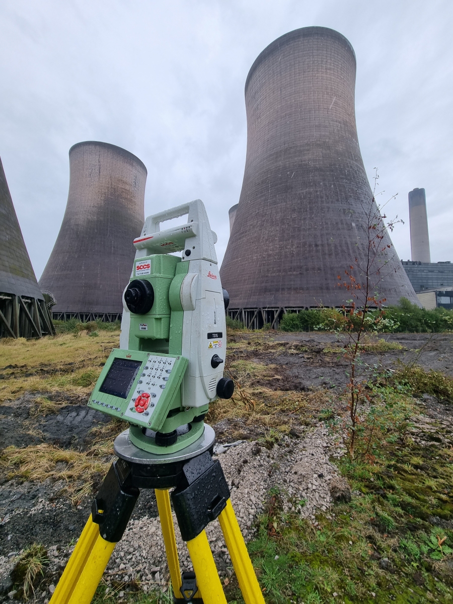
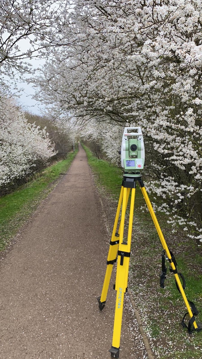
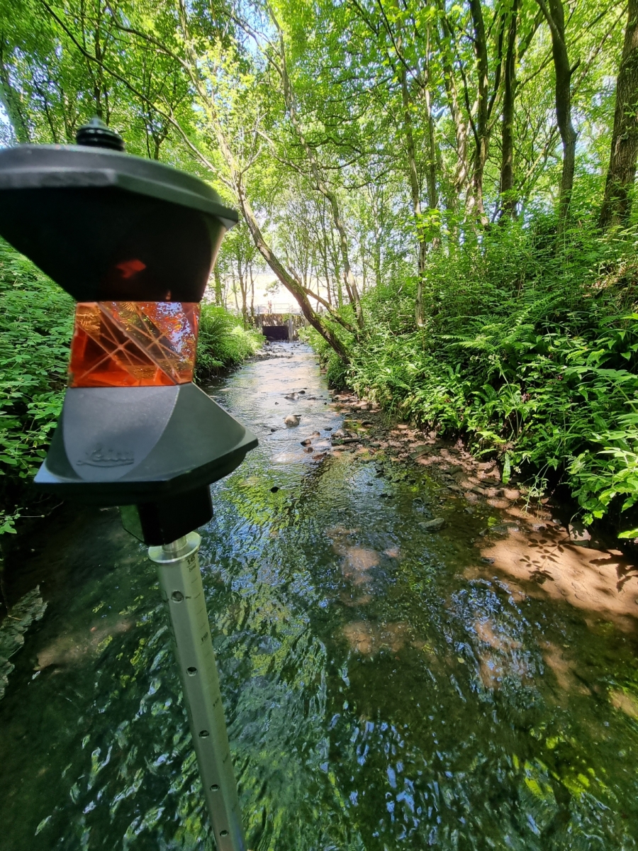
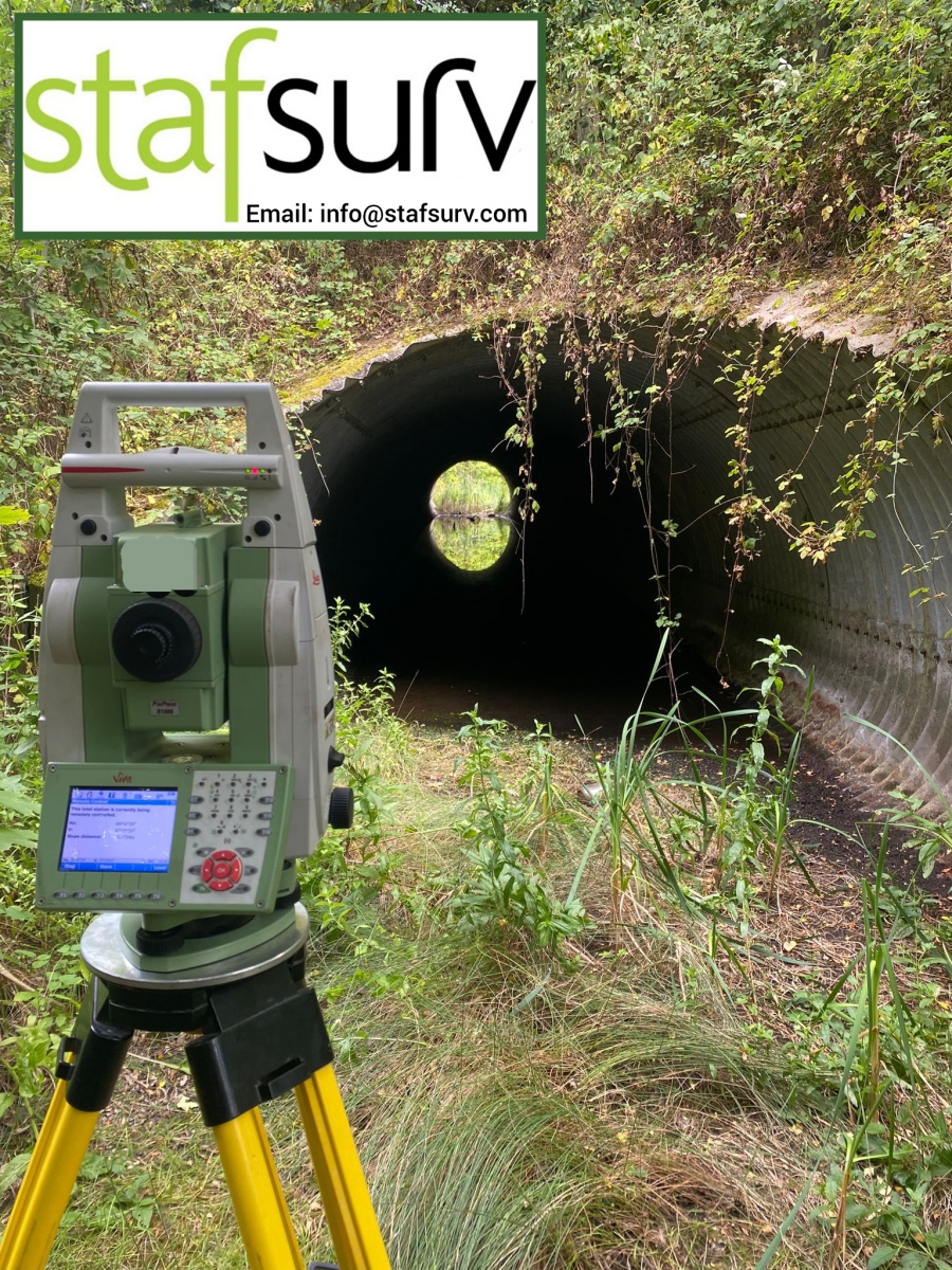
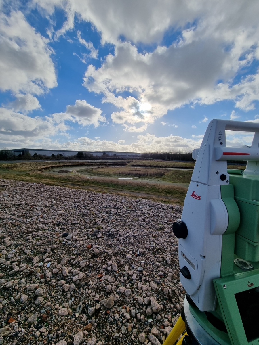
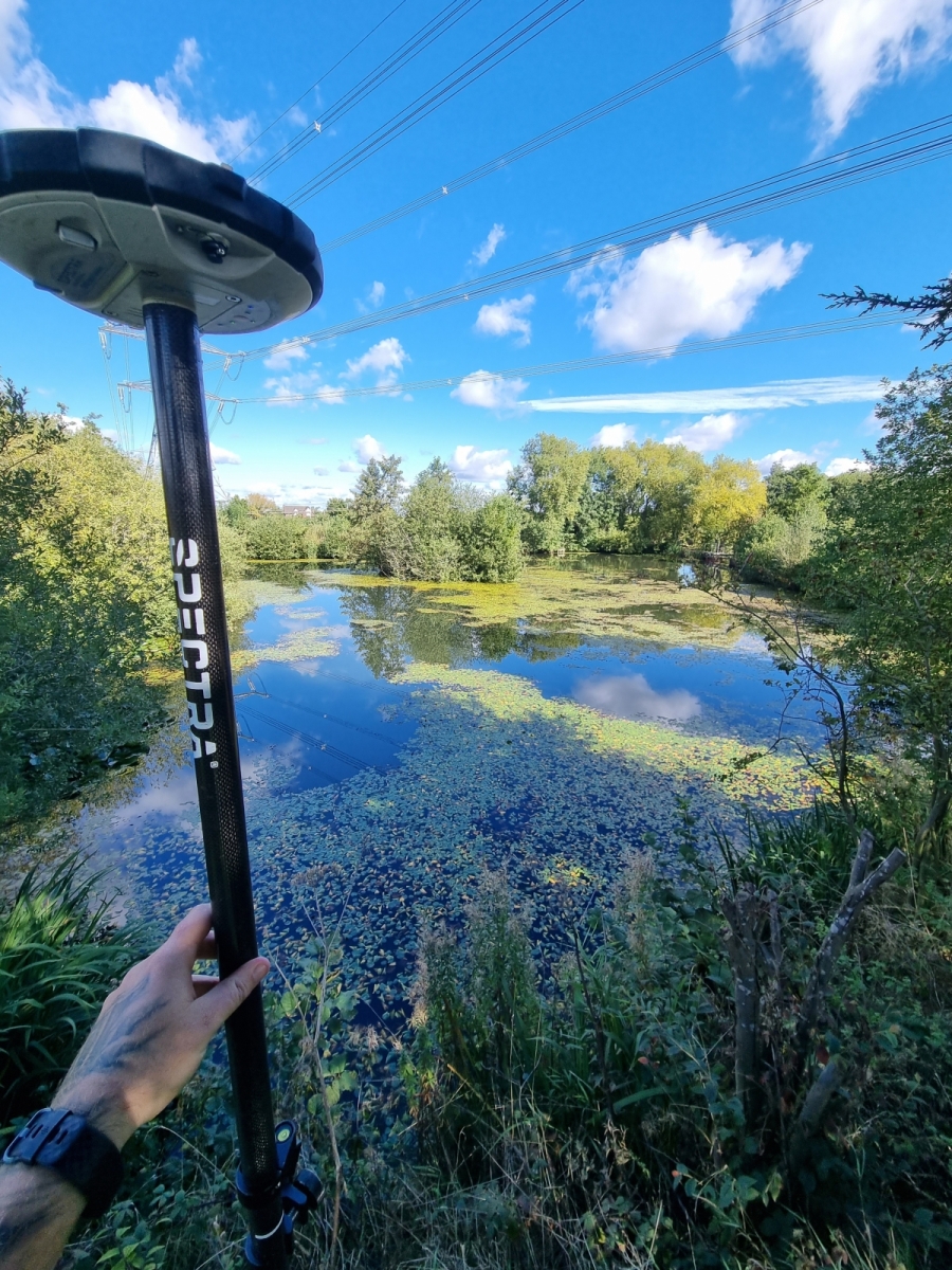
Equipment is tailored to suit the specific project, typically this will be either a 1 man robotic setup or a traditional 2 man team. All of our instruments have reflectorless capability for remotely measuring detail which cannot be accessed either for safety reasons or because it’s in private ground off site. GPS is used increasingly to fix height and position true to Ordnance Survey grid and datum.
Survey data is processed using either applications in Cadd n4CE or McArthy Taylor LSS software and output is typically in AutoCad .DWG format although requests for all of the other typically encountered electronic formats can usually be accommodated.
Stafsurv have extensive experience in surveying development sites, industrial and commercial sites, hospitals, schools, highways, quarries, heritage sites, greenfield sites.