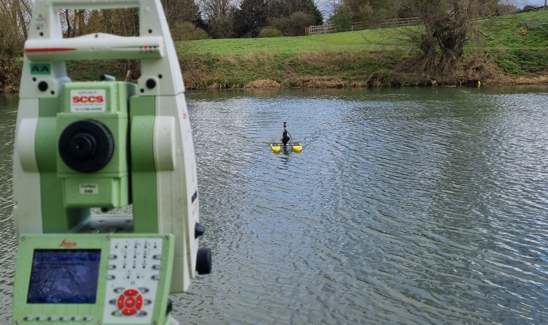
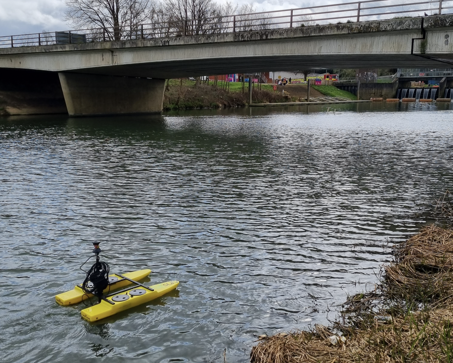
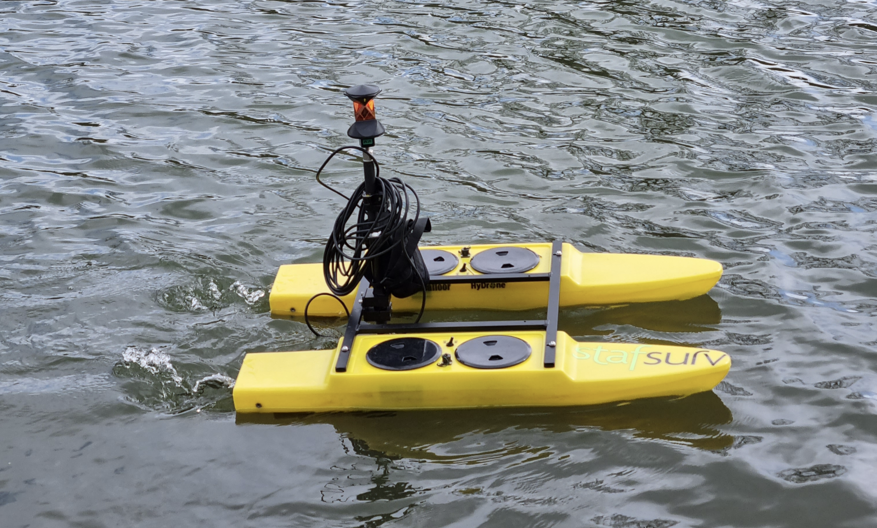
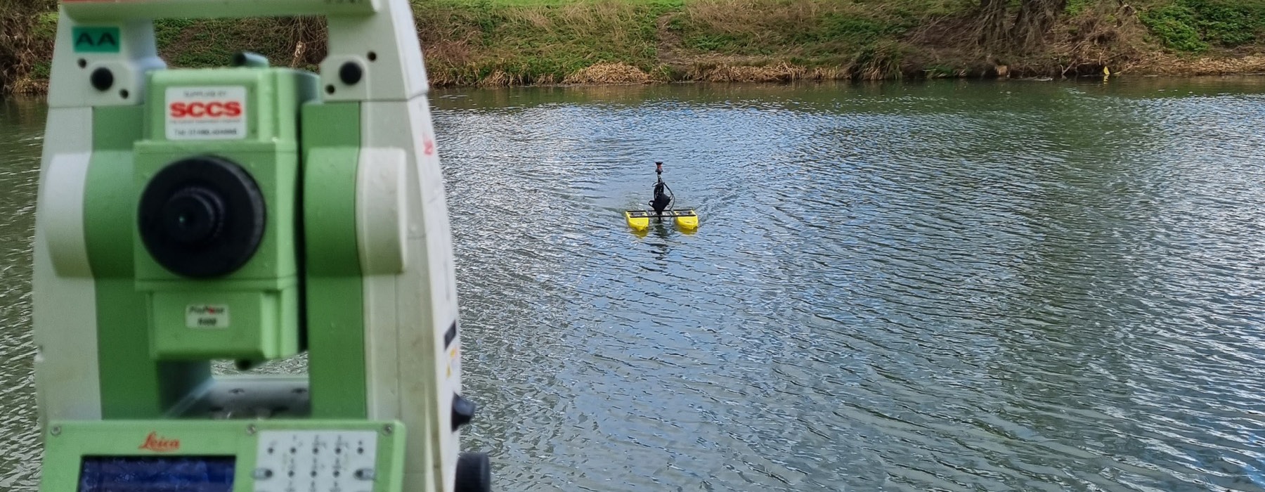
Bathymetric Surveying

Get in touch

This type of surveying requires us to use the Hydrone-RCV with the Hydrolite-TM portable echosounder. This allows us to survey soft bed levels in all types where water allows. We can gain the required first reflective surface level data to satisfy a clients requests with avoiding the logistical difficulties and health and safety concerns around this work.

If hard & soft bed levels are required we have the ability to deploy a manned boat to physically dip the water bed with an extended detail pole.

When undertaking these surveys we can produce detailed sections of waterways and 3D modelling.

Land/Topographical
Surveying

Using the latest GPS & Robotic Total Stations paired with experience and innovation in our practice.

Measured Building
Surveying

With a vast knowledge base to produce floor plans, elevations and sections.

Setting Out &
Site Engineering

A wealth of experience and knowledge in setting out, establishing control networks and precision monitoring.

Quarry, Landfill &
Earthwork Surveys

Extensive work with leading operators in this industry.

Cut & Fill Strategies

Experts in providing detailed 3D ground models to aid clients with material planning and earthworks.

Site Design &
Volume Calculations

Aiding with the accurate planning of material requirements and movement to be as cost effective for our clients.

Utility Surveying

Providing a range of non intrusive services to the utility sector.

Bathymetric
Surveying

Accurate surveying of rivers, canals, ponds, streams and lakes using either radio controlled technology or manned boat to obtain soft/hard bed levels.